In many cases, for example, when designing some webs, posters, or infographics, you don’t need very detailed maps to get the final product you are looking for. For those occasions, Maptorian´s detailed world maps may be too complex to use, as they contain a very high level of detail.

That’s why I created this new collection of vector maps of the world. With these new maps, simple compositions can be created quickly: the coastlines, rivers, lakes, and other details have been simplified. However, nothing of Maptorian’s essence is lost on these maps; they are maps in which all objects and labels are editable and allow you to create all types of thematic maps quickly using Adobe Illustrator or any other similar vector design program.
THIS PACK CONTAINS
Digital download.
Pack size (ZIP 2 Files): 1,60 GB + 2 GB.
Contains 30 maps (16 projections) + auxiliary maps.
Layers: 40.
Minimum software required: Adobe Illustrator CS3 or equivalent vector software (Layered AI format).
Minimum RAM required: 2GB.

This pack is also included in the Maptorian full Edition
Thematic layers in this pack


MAPS INCLUDED IN THIS PACK
All objects, labels and elements are editable. Maptorian is an awesome map collection designed to easily create your own map projects for personal or commercial use without any restriction.
(See license).Maptorian is a vector map collection created thinking about the work of graphic designers, journalists, students and people who need to create visually appealing maps easily and quickly.
Whit the layered maps of Maptorian, any person who knows how to handle a current vector graphic design program, especially a program like Illustrator, can easily shape their own maps.


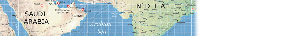
SCREENSHOTS


This pack is also included in the Maptorian full Edition


